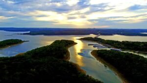
With over 550 miles of shoreline and thousands of acres of deep blue water, Norfork Lake is larger than many visitors realize. Use the map below to orient yourself between our winding “arms,” the main channels, and the surrounding Ozark towns.
Understanding the Layout
Norfork Lake is roughly divided into three main sections to help you navigate:
The North End (The River Arms): Where the lake meets the Missouri state line. This area is quiet, secluded, and known for excellent Walleye fishing.
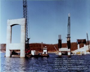
The Central Hub (Henderson & 101): Home to the iconic Twin Bridges. This is the widest part of the lake and the most popular area for sailing and watersports.
The South End (The Dam & Jordan): This is the deepest part of the lake, featuring the Norfork Dam, world-class SCUBA diving sites, and the cold-water trout tailwaters below.