🚗 Navigating Norfork Lake & Beyond
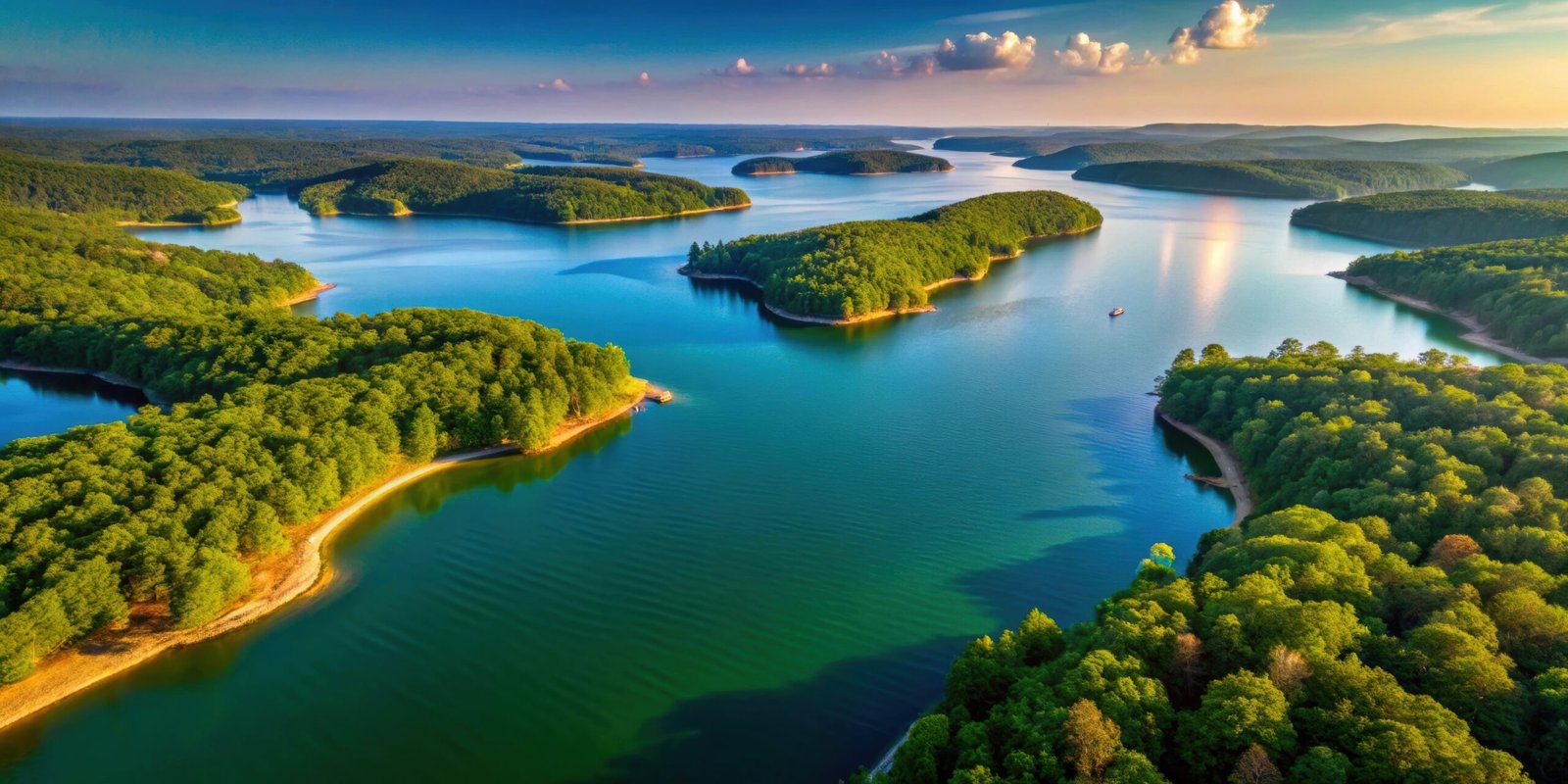
Norfork Lake is a vast, beautiful destination that stretches across northern Arkansas and into Missouri. Because of the lake’s unique “dragon-like” shape with hundreds of coves, getting from one side to the other often involves a scenic drive through the rolling Ozark hills.
Whether you’re heading to a marina or exploring downtown Mountain Home, here is what you need to know about getting around.
Travel Times from Mountain Home (The Central Hub)
Most visitors use Mountain Home as their base for supplies and dining. Here are the approximate driving times from the center of town to the main lake areas:
| Destination | Distance | Est. Drive Time | What’s There? |
| Henderson | 10 Miles | 15–20 Mins | The “Twin Bridges,” Panther Bay, and main marinas. |
| Norfork (Town) | 14 Miles | 15–20 Mins | The confluence of the river and lake, fly fishing, and brewing. |
| Jordan & Dam | 16 Miles | 20–25 Mins | Norfork Dam, Quarry Park, and deep-water diving. |
| Gamaliel | 15 Miles | 20–25 Mins | Northern lake access and quiet, secluded resorts. |
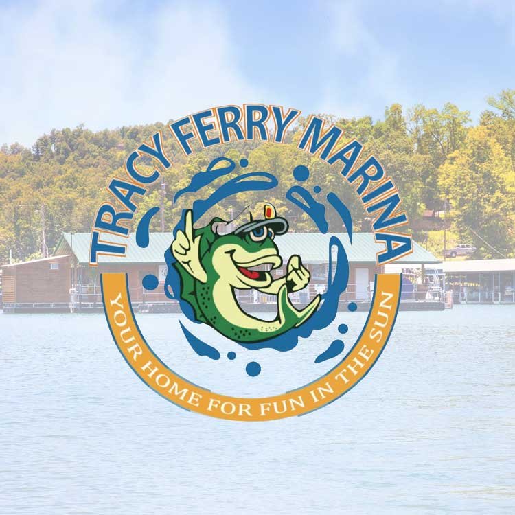
| Tracy Ferry | 8 Miles | 12–15 Mins | Close-to-town boating and the Tracy Ferry Marina. |
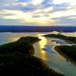
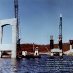
🌉 The Iconic Bridges
When traveling east from Mountain Home on US Hwy 62/412, you will cross two massive, high-span bridges.
The Henderson Bridge (Hwy 412): Offers one of the most stunning views of the lake’s main channel.
The 101 Bridge: Branches off to lead you toward Gamaliel and the Missouri state line.
Pro Tip: These bridges replaced the old ferry system in the 1980s. If you look down as you cross, you are driving over some of the deepest water in the lake!
✈️ Regional Access
Car Rentals: If you are flying in, car rentals are available at the Baxter County Regional Airport (BPK) and in downtown Mountain Home.
Personal Vehicle: A car is essential for visiting Norfork Lake, as there is currently no public transit or widespread ride-sharing between the lake and town.